The Varied Landscapes and Geography of Mexico
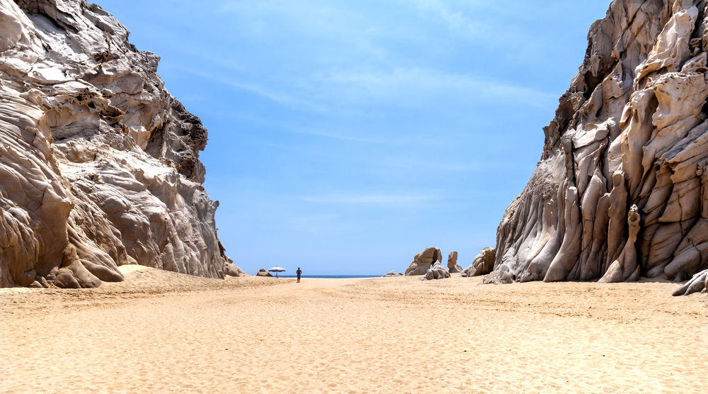
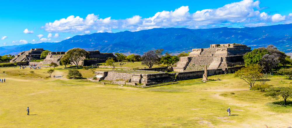
Geographically speaking – Mexico is varied. It certainly has its share of coast boasting over 9,000 kilometres of coastline and its share of arid desert regions, but it also offers lush tropical jungles, mangrove forests, volcanic plateaus and canyons.
Mexico is the most northerly country in Latin America and the third largest country in Latin America after Brazil and Argentina. It is bounded to the north by the United States, its border with the United States stretching for 5,000 kilometres. To the south and west it is bounded by the Pacific Ocean, to the east by the Gulf of Mexico and to the southeast by Belize, Guatemala and the Caribbean Sea.
There are a few islands and archipelagos that are part of Mexico including Cozumel and Mujeres off the Yucatan Peninsula and Tres Marias in the Pacific.
Geography of Mexico:
Baja California

The isolated strip of land in the northwest of Mexico, between the Pacific Ocean and the Gulf of California, is known as the Baja California peninsula. This arid region is over 1,200 kilometres long but rarely more than 160 kilometres wide. In the north is the Sonoran Desert that extends into Arizona and California.
This is the hottest desert in Mexico and it contains a number of unique and endemic plants such as the organ pipe cactus. Baja California’s Sonoran Desert is also home to Mexico’s lowest point, Laguna Salada at 10 metres below sea level. Running down the centre of Baja California is a range of rugged granite mountains that rise to over 3,000 metres.
Central Mexican Plateau

Much of northern and central Mexico is taken up by the Central Mexican Plateau, an area covered mostly by deserts and shrub, averaging 1,825 metres above sea level.
Sierra Madre Occidental. The Sierra Madre Occidental range runs north to south for 1,100 kilometres, where it joins the southern mountain range of Sierra Madre del Sur. This largely volcanic range runs through the centre of Mexico and forms the western border of the Mexican Plateau. The elevation of the range averages 2,400-2,700 metres.
Copper Canyon

One of the most spectacular areas in the Sierra Madre Occidental is the Copper Canyon (Barranca del Cobre) in the north. The Copper Canyon is a series of six canyons formed by six rivers that all merge into the Rio Fuerte and drain into the Gulf of California. And why is it called the Copper Canyon? The reason is because the canyon walls are copper/green in colour.
Yucatan Peninsula

The Yucatan Peninsula in the southeast of Mexico, separates the Caribbean Sea from the Gulf of Mexico and is the exposed portion of the Yucatan Platform. The region features many caves and sinkholes (cenotes) as well as tropical rainforests.
Ring of Fire
The Ring of Fire is a 40,000 kilometre horse-shoe shaped line of volcanoes, earthquakes and other seismic activity plus deep ocean trenches and high mountain ranges, formed around the edges of the Pacific Ocean. Mexico lies in the Ring of Fire.
Popocatepetl is one of Mexico’s most active volcanos and one of the most dangerous volcanoes in the Ring of Fire. This is also Mexico’s second highest peak (5,426m). Colima also known as Volcan de Fuego, is another of Mexico’s most active volcanoes. Volcano Pico de Orizaba is in fact Mexico’s highest point at 5,700 metres.
So why not take a tour of Mexico and discover its varied landscapes and geography as well as its fascinating culture, cuisine, beaches, ancient civilisations and archaeological ruins? Chimu Adventures offers a range of tours to Mexico, Central America and South America.

Where Will You Go Next ?
- Popular Destinations
- Antarctica
- The Arctic
- South America
- Central America
- More to explore
- Amazon
- Antarctic Circle
- Antarctic Peninsula
- Argentina
- Bolivia
- Brazil
- Canadian Arctic
- Chile
- Colombia
- Costa Rica & Panama
- East Antarctica
- Ecuador
- Galapagos Islands
- Greenland
- Guatemala & Honduras
- Machu Picchu
- Mexico
- Patagonia
- Peru
- South Georgia and Falkland Islands
- Spitsbergen
- Sub Antarctic Islands

Talk to one of our experienced Destination Specialists to turn your Antarctic, Arctic and South American dream into a reality.
Contact us
